Orientation
Who determined where the East is located? Is mapping a reliable, scientific tool? And who is truly responsible for the formal expression of today’s world, in the GPS era? The exhibition Orientation attempts at delineating the geographical, relative term “East”.
The story of the East begins in religious maps that sanctified it as the location of the Garden of Eden, moves through Imperialist maps that gave the modern world its shape and its perception of time, and ends (for now) with visual displays established by strong governments and powerful algorithms.
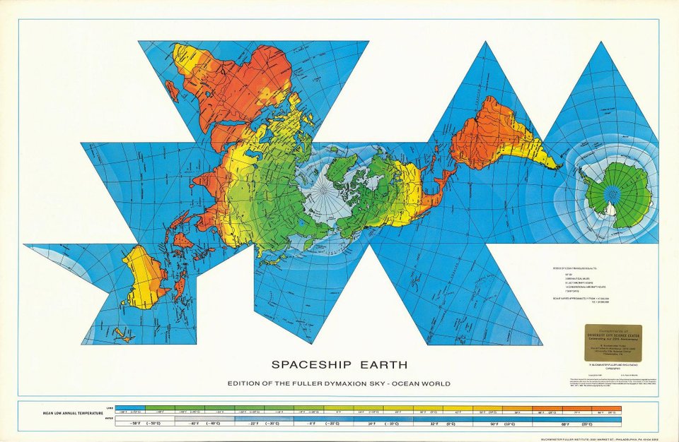
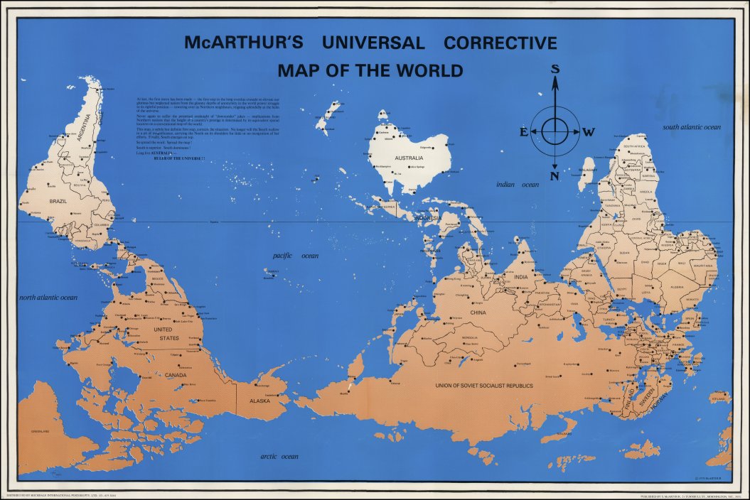
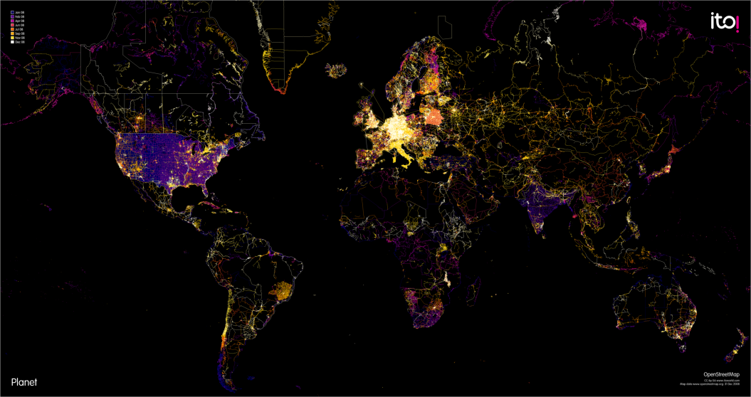
The exhibition showcases various approaches to depicting earth, as illustrated by cartographers,automatically generated by computers, or displayed as works of art. These will attempt at expressing the East in an elusive world in which maps are not only maps but also a tool employed for personal expression, the definition of identity, and the promotion of ideas.
The collection of sources and attempts to illustrate the world, and the different worlds reflected from it, give rise to the tension that lies between the exploration of truth and the search for meaning, order and orientation and the subversive undercurrents, political agendas and historical processes that impact the way in which we choose to present its four corners – on a map.
Curator: Roni Levit
Participants: Roni Levit, Nechemia Boaz & Tov VeYaffe Beit Midrash for Art and Design, Buckminster Fuller & Shoji Sadao, Eric Fisher, Zak Ziebell, Andy Woodruff, Max Galka, Kyle Dropp + Joshua D. Kertzer + Thomas Zeitzoff, Stuart McArthur, Stefano Maggiolo, Yanko Tsvetkov, Ruud Bijlsma, Mike Block, WorldMapper.org, James Talmage & Damon Maneice, arke van Wijk, Kalev Leetaru
Research: Roni Levit, Elad Levit space desgin :Shavit Yaron